Judgment you can defend
Every recommendation cites the data behind it and the range where it stops holding up.
Geology and geotechnical services for open-pit and underground mines across the Great Basin and the Mountain West.
We stay with your site from exploration to post-closure monitoring.
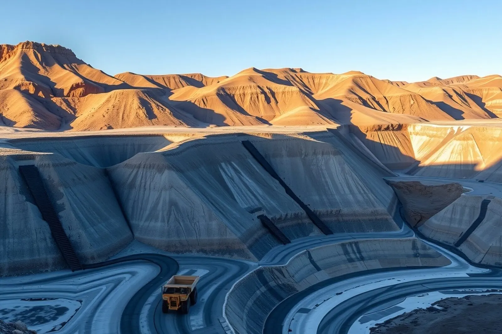
Drywash Geoscience exists so your operation can decide with enough information: no more study than you need, and no less than the decision demands.
Mapping, sampling and drilling QA/QC so you know what's there, and how sure you can be.
Slope and underground stability, with the instruments that prove the design in the ground.
Reclamation plans, chemical stability and post-closure monitoring until conditions settle.
We start from the decision behind your question, not from a report template.
Pick a question to see how we'd tackle it.
We characterize the rock mass, run the stability analyses and give you a defensible angle with its factor of safety, plus the monitoring plan that keeps it valid.
View related serviceWe build the groundwater model for your site and forecast inflows, so pumping costs are in the plan before they turn into a surprise.
View related serviceWe review the design, phreatic surface control and instrumentation, with an independent stability review.
View related serviceWe prepare or update your reclamation plan with a cost estimate backed line by line, plus the concurrent reclamation that lowers the final bill.
View related serviceWe plan the program, control data quality and deliver an interpreted geologic model with its uncertainty stated.
View related serviceWe classify the rock mass heading by heading, then size and verify the support with real convergence readings.
View related serviceWe review resources, geotechnical assumptions and environmental liabilities, and separate what's supported from what's wishful thinking.
View related serviceYou decide where we start and how far we go. Every stage can be contracted on its own.
That's how we work when the study runs start to finish. If you've already got part of it done, we jump in wherever you need us.
Before we propose a scope, we ask what decision rides on the study: keep drilling, steepen the slope, approve the next dam raise. We size the work to that decision, not to fill out a report.
We collect the data on site with chain of custody and digital logging: mapping, sampling, lab testing, and installing the instruments you'll need later on.
We bring the data into the geologic, geotechnical or groundwater model the job calls for, then run the analyses. Every result comes with its uncertainty range, not a single number on its own.
We deliver the recommendation in terms of the original decision: what to do, when it stops being valid, and what risk you're accepting by following it.
No geotechnical criterion holds forever. We leave you a monitoring plan with trigger action response plans, reading frequency, and the steps to take when a measurement goes outside the expected range.
It's not just about having the credentials. It's about what's left once the report is delivered.
Every recommendation cites the data behind it and the range where it stops holding up.
The person who signs the report is the one who was in the pit, not someone who reviewed it from an office.
We don't sell equipment or build what we recommend, so our advice has no other agenda.
We tell you what we don't know and what it would cost to find out, instead of hiding it behind a single number.
Reports that stand up to an audit, and drawings your site team can actually follow.
We leave your site team understanding the model, not waiting on us to come back.
What's worth knowing about Drywash Geoscience in our first conversation.
Geology, geotech and mine reclamation.
Pit slope stability and tailings management, tied together with water and geology.
Large open-pit mines, underground and mid-tier operations, and anyone evaluating or financing a mining asset.
Making sure an expensive decision rests on evidence, not on someone's gut feeling.
Traceable field data, a model with its uncertainty, and monitoring that keeps the call current.
We don't sell equipment or build what we recommend, so our advice has no other agenda.
Tell us what decision is on your plate, and we'll tell you what study backs it up.